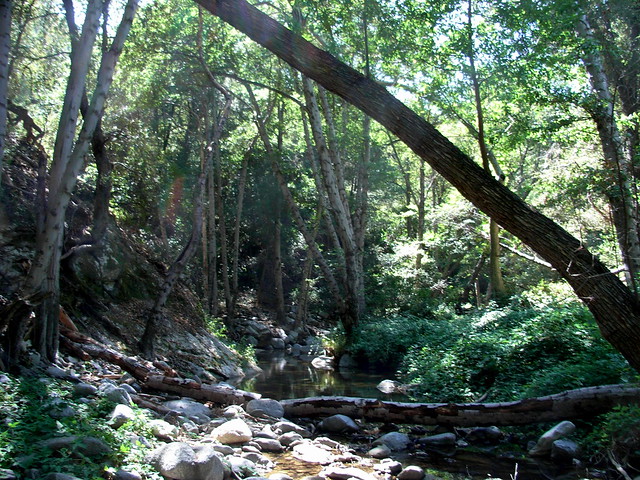
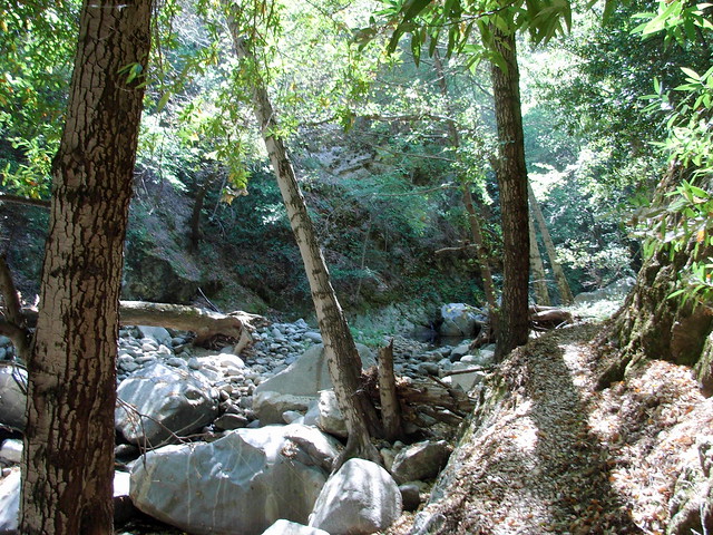
The Kenyon-Devore Loop to Mount Wilson is a 10.5 mile loop from the top of Mount Wilson to two trail camps along the West Fork of the San Gabriel River, then back up to the top of the mountain. This trail is entirely along the mountain’s cooler, more forested north face, and the route follows seasonal streams and rivers that can provide nice swimming holes. A few dangerous stretches of track and the down-then-up route make this a strenuous day hike, or a more moderate overnighter.
Mount Wilson has more routes to the summit than any other mountain in the San Gabriels. This route actually starts at the top, then sinks down to a canyon and climbs back up the mountain’s northern and eastern slopes. It’s a shaded route that’s fine for warm days (especially if you go during the spring, when the San Gabriel River will have a good flow of water). Note that this route was affected by the 2009 Station Fire and the 2020 Bobcat Fire and conditions will likely be different than written here.
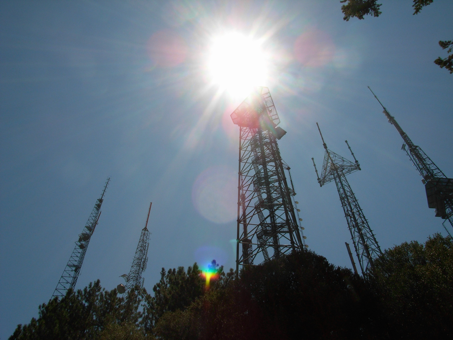
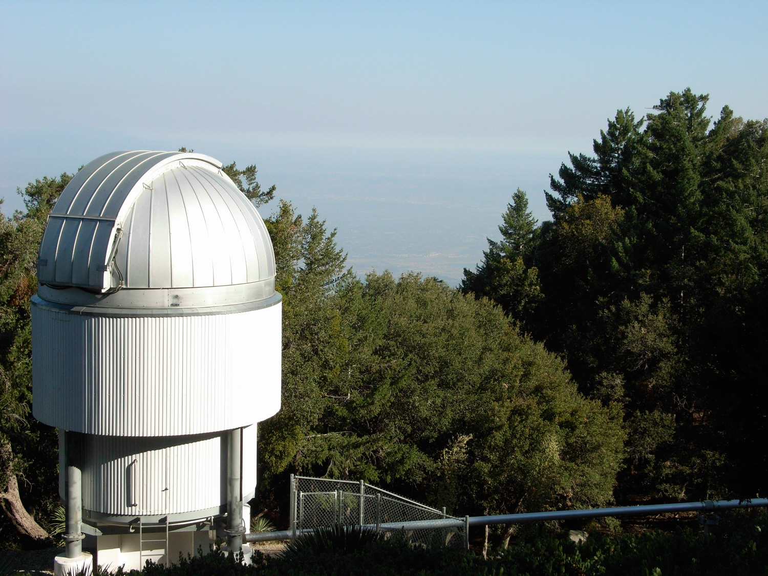
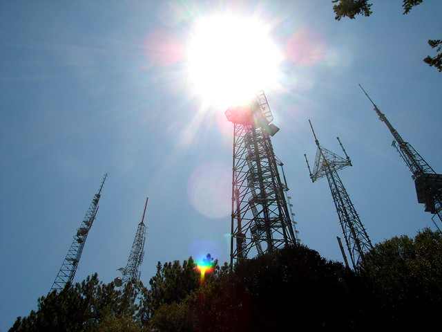
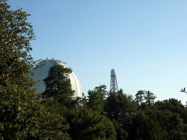
This route starts at a parking lot near the observatories — just past the little loop of Audio and Video Roads. Park just north of the visitor center and then backtrack along the road toward the antenna farms you just drove past.
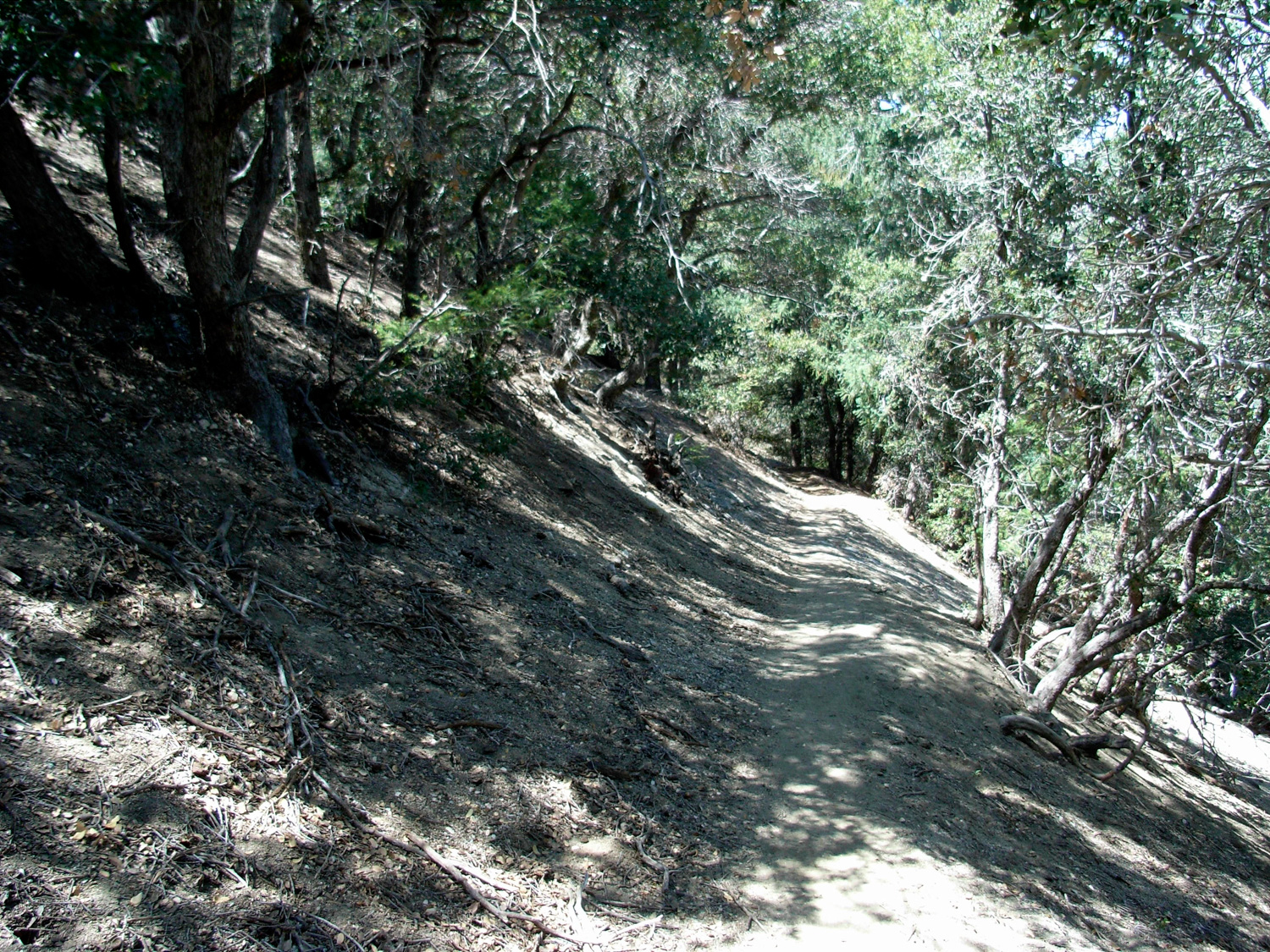
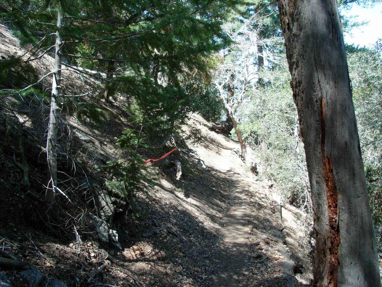
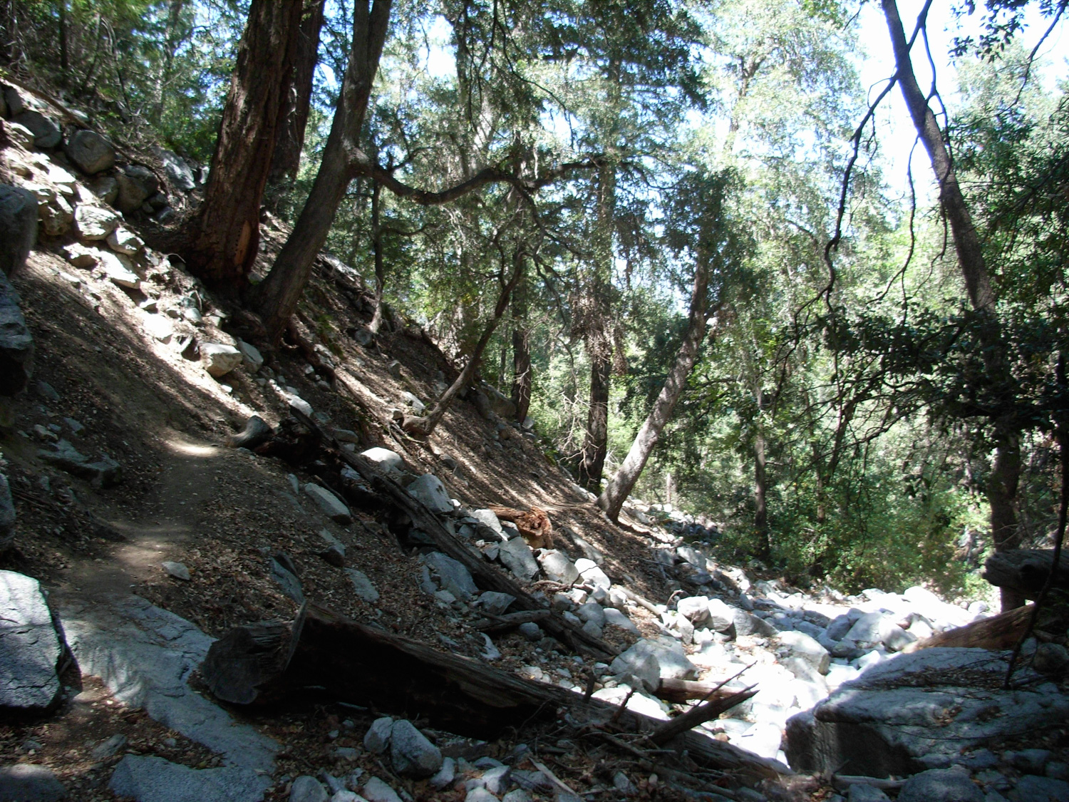
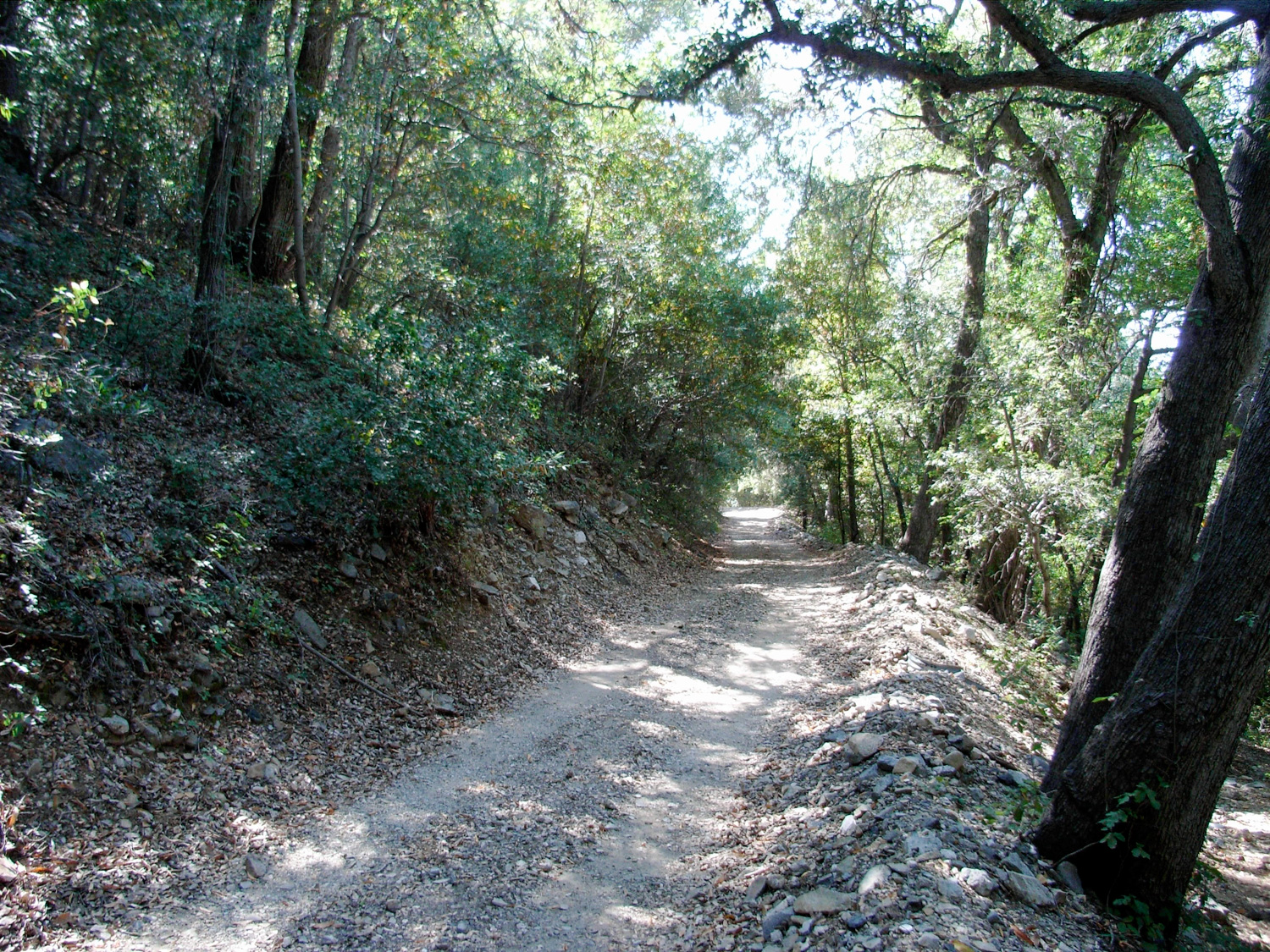
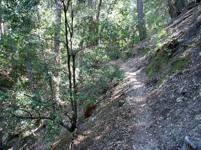
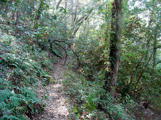
Almost immediately, the pine-needle blanketed trail drops along the north ridge of Mount Wilson. It is a nicely graded descent, mostly-shaded and well-marked. In fact, it might be too well marked. Large portions of this route are part of a popular trail-running route, and the runners have left all sorts of ways to mark the trail along the way — from bright orange streamers hanging from the trees …
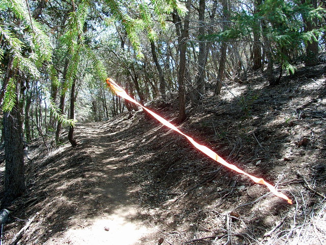
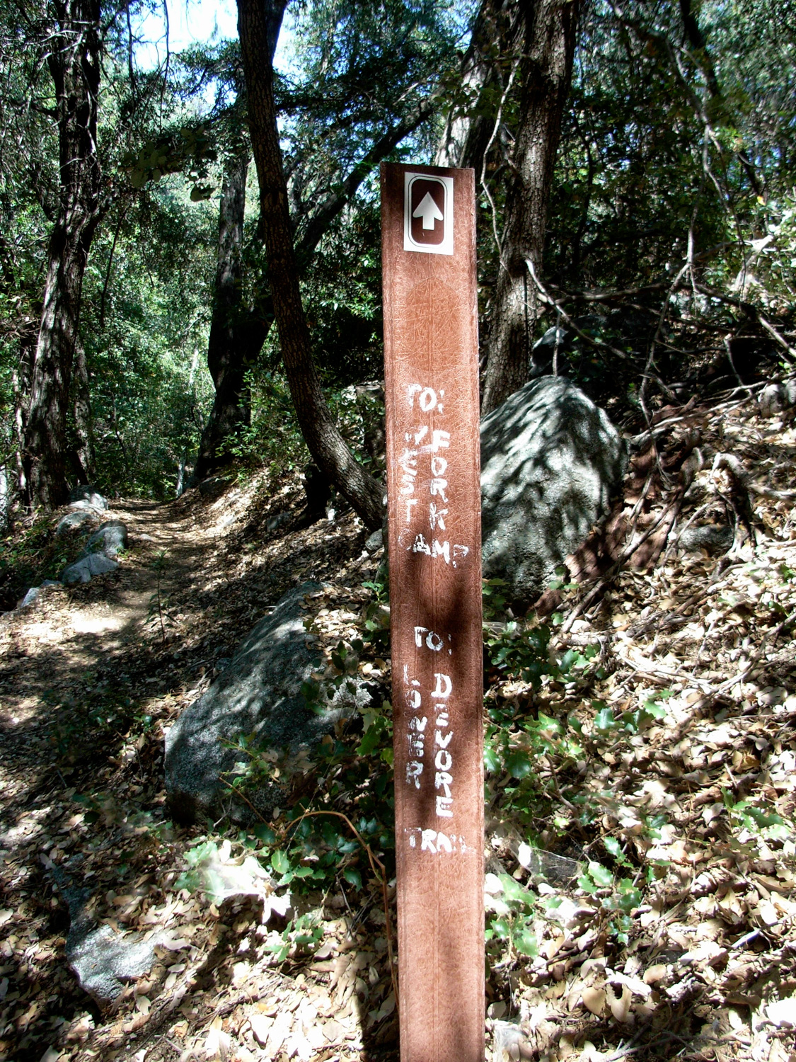
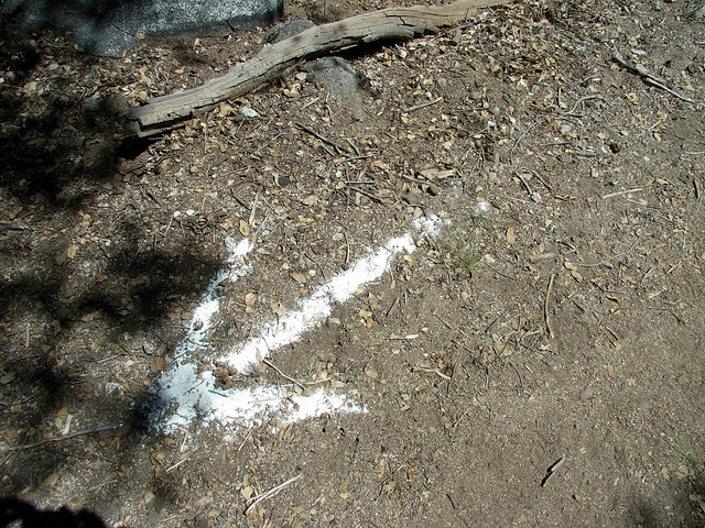 </center >Helpful, I suppose … but not necessary at all. Aside from the junction near the beginning of the trail (which is clearly marked and leads to another parking lot), there are no junctions on this trail for another 3.6 miles — and all the junctions that ARE on this route are very well marked with clear, maintained signs. But I guess if you want to feel helpful, you want to feel helpful.
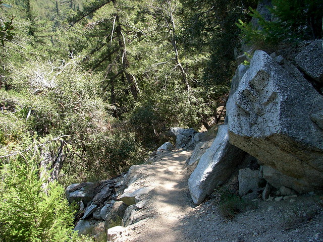
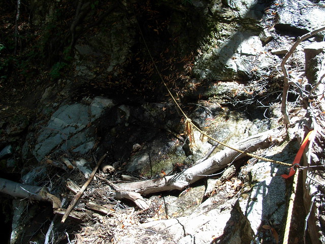
Someone has anchored a rope here to help people across the stream. It feels a bit loose, but it does the job.
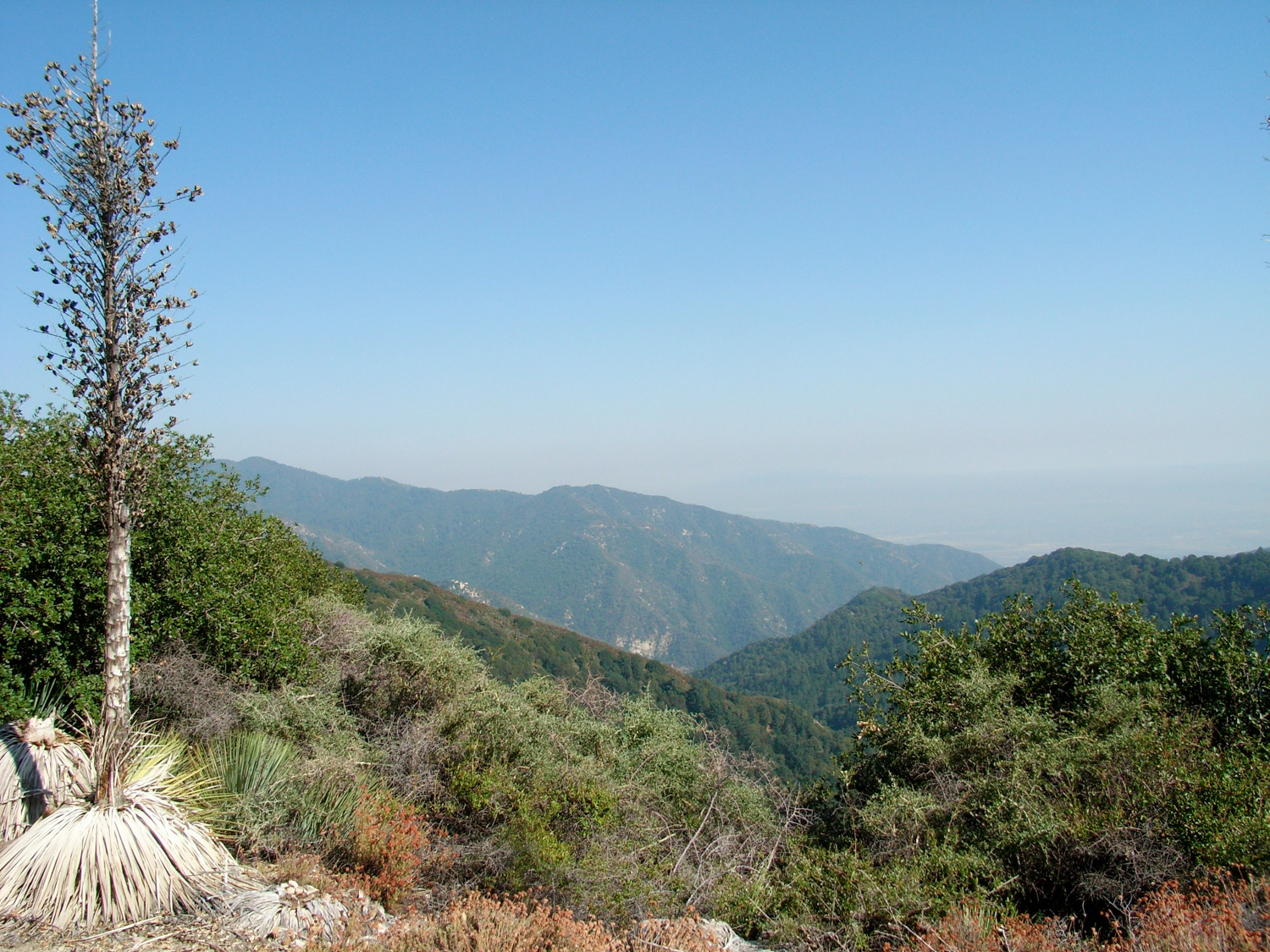
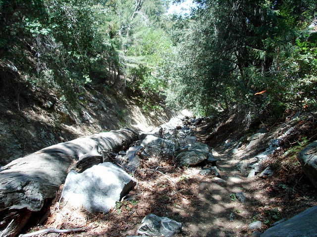
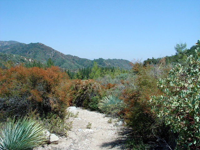
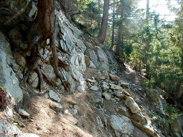
This is the only section of trail that is lacking shade — and has much more in common with the south-facing slopes of the front range San Gabriels — by which I mean lots of low lying brush and Spanish Bayonets.
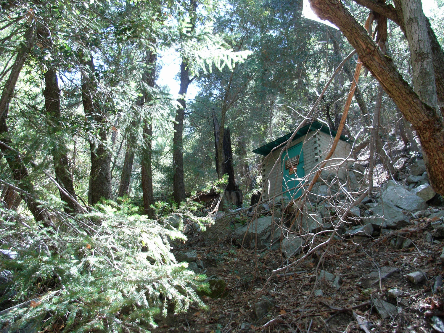
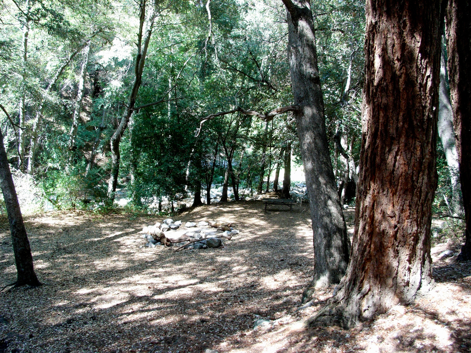
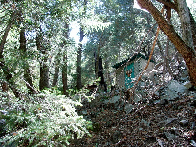
There are plenty of picnic tables, camp sites, fire pits, and outhouses here … as well as the foundation of the first US Forest Service cabin built in California (circa 1900), which you’ll walk past as you enter the campground.
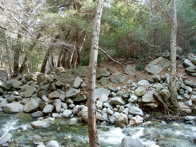
When I came into this campground via Shortcut Canyon back in February, the water was flowing fast, surrounding the camp sites and providing wonderful white noise:
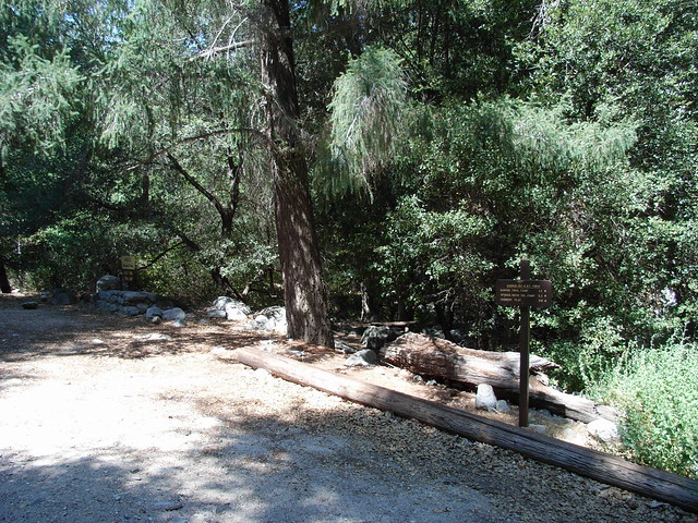
To continue this route, hop across the boulders (or river), heading east from the camp. You’ll see a small metal “Pack it Out” sign, and a clearing along the river’s eastern bank that leads up to a visible trail.

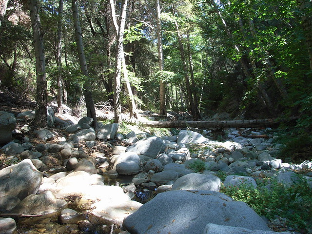
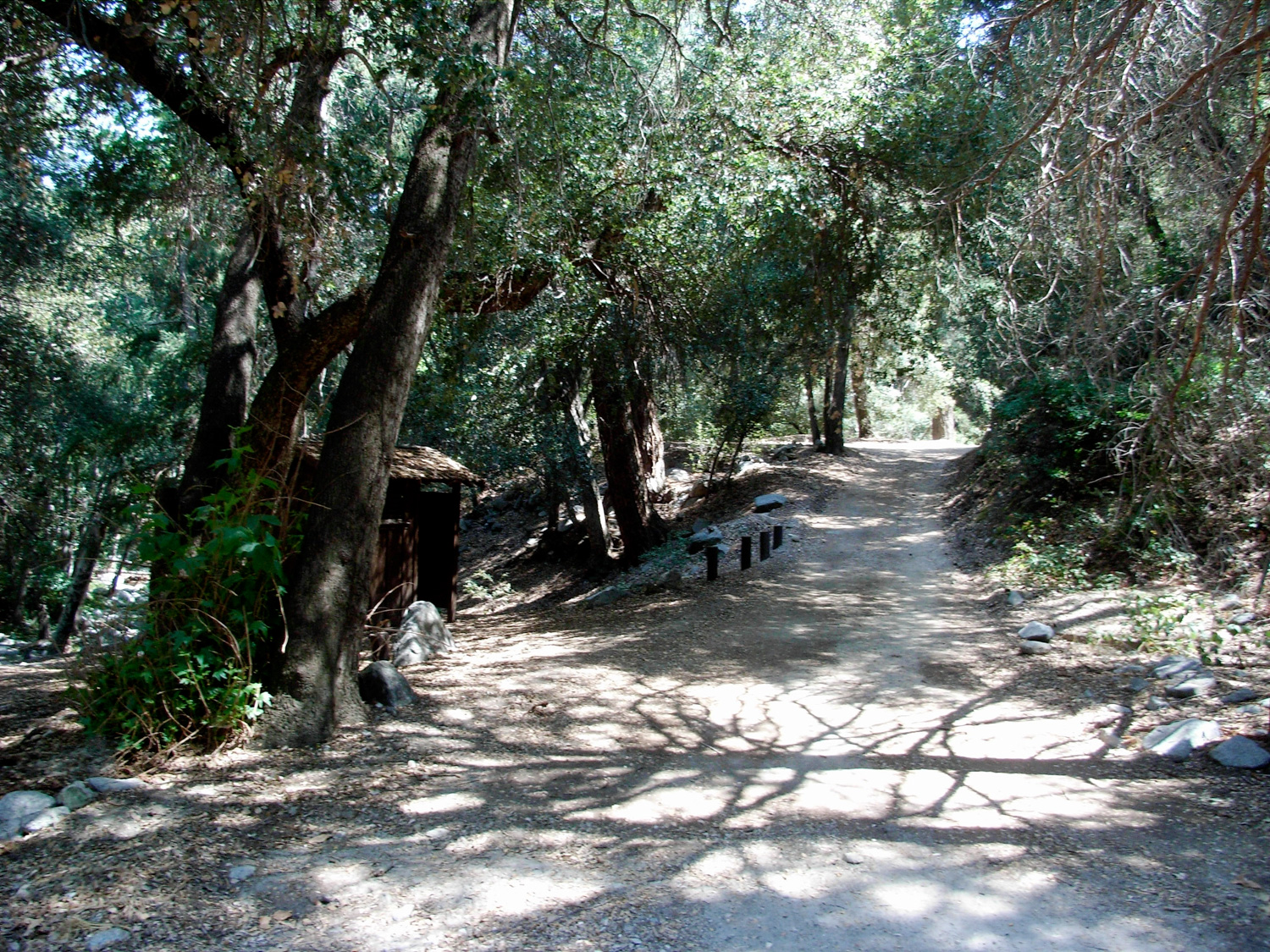
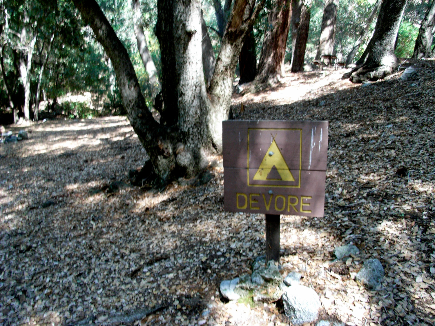
The Devore Trail Camp is at the end of this stretch of trail, just before the San Gabriel River makes a bend to the northeast — it’s on a broad slope on the south side of the river with lots of space for tents, and plenty of fire pits to go around.
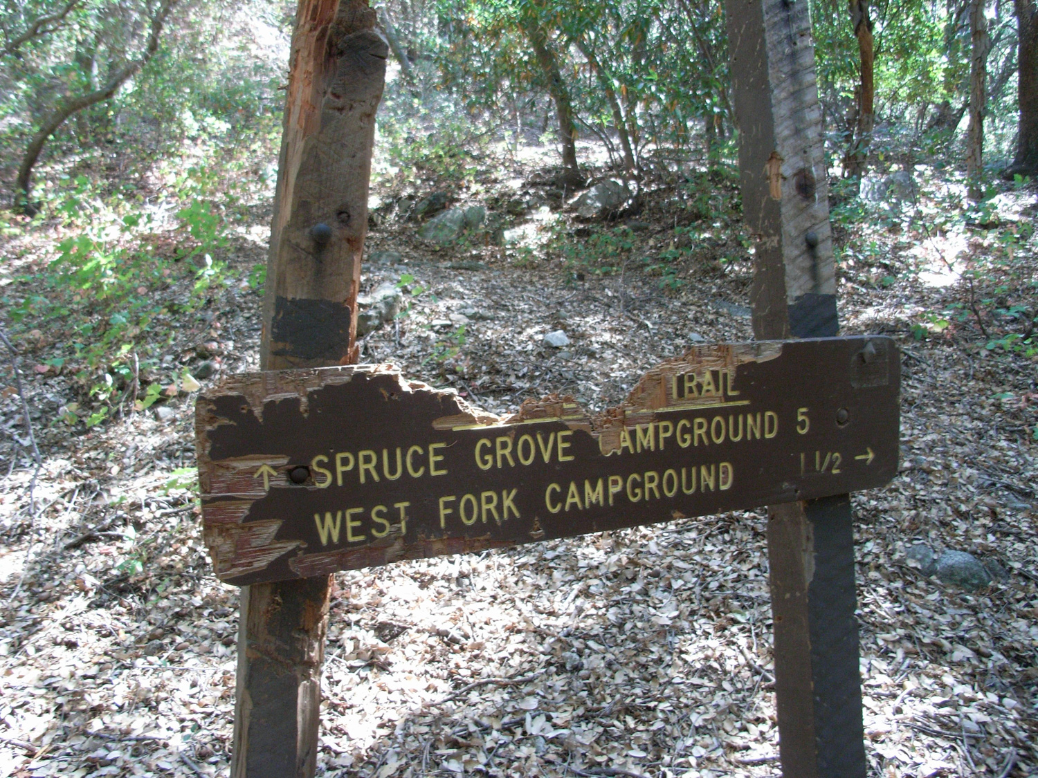
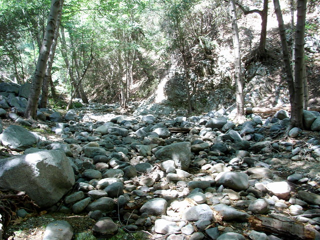
From here, you can either keep exploring down the river down an old angler’s trail that continues about 5 miles to the Cogswell Reservoir … but only the first mile or so has been reworked by volunteers. After that, you’re on your own.
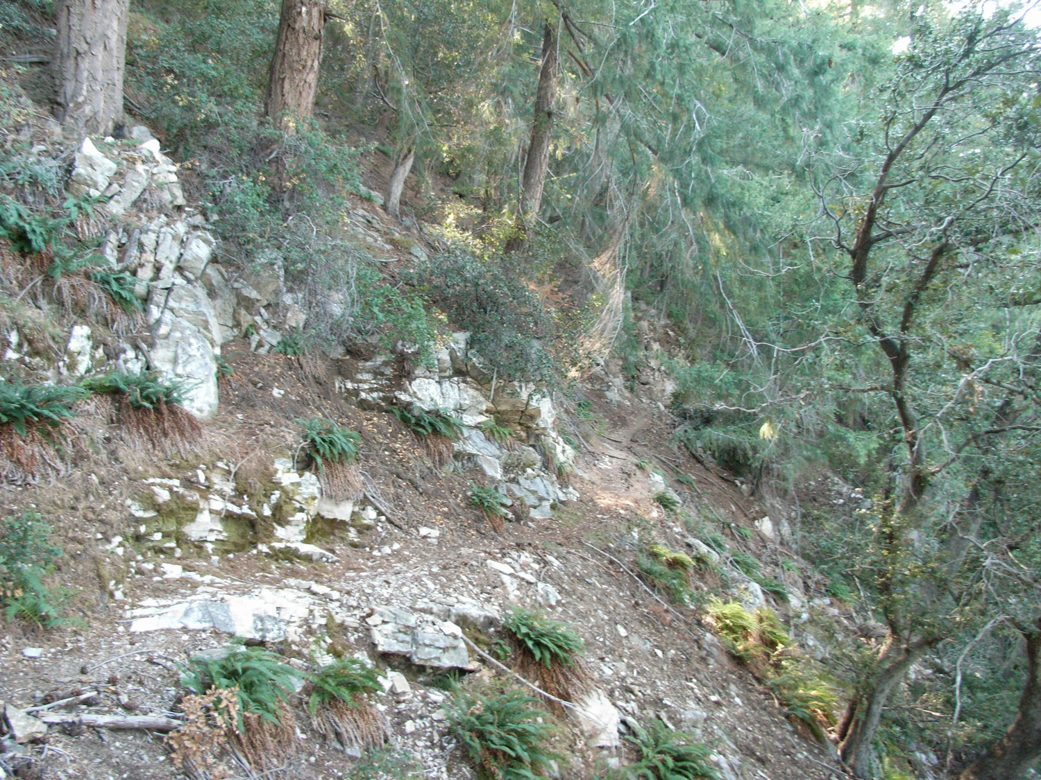
This route continues on the trail you’ve been on – part of the Gabrielino Trail – which now begins a seemingly-endless ascent back up to the top of Mount Wilson. Hopefully, your legs are still in good shape after all that downward pounding, because it’s all work from here on out. The trail makes an immediate turn to the south, and starts climbing up Wilson’s north slope directly and in numerous switchbacks.
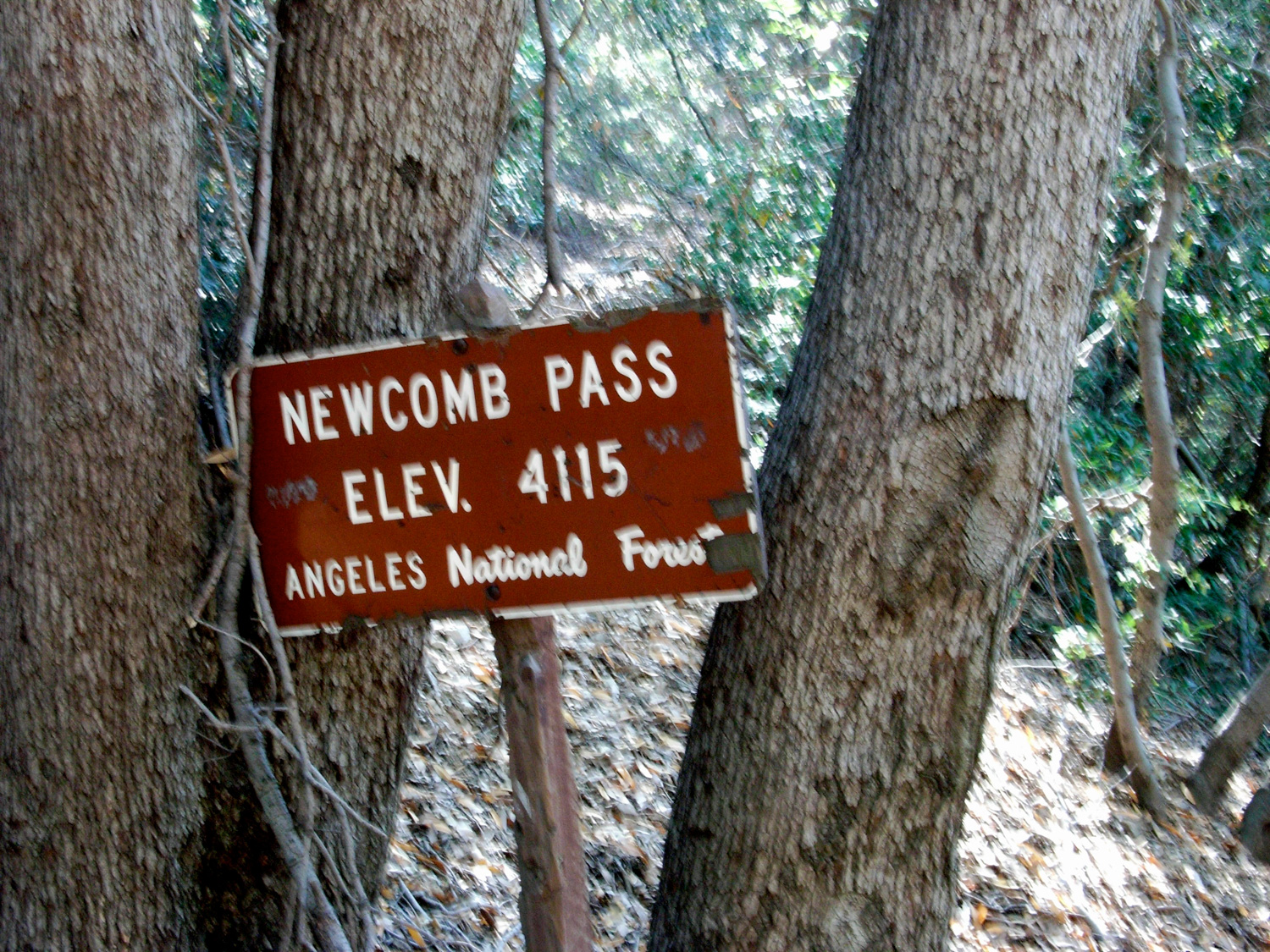
Cross the road and continue on the Gabrielino Trail .3 miles to Newcomb Pass – a nice resting spot before the last major ascent up Wilson’s east ridge.
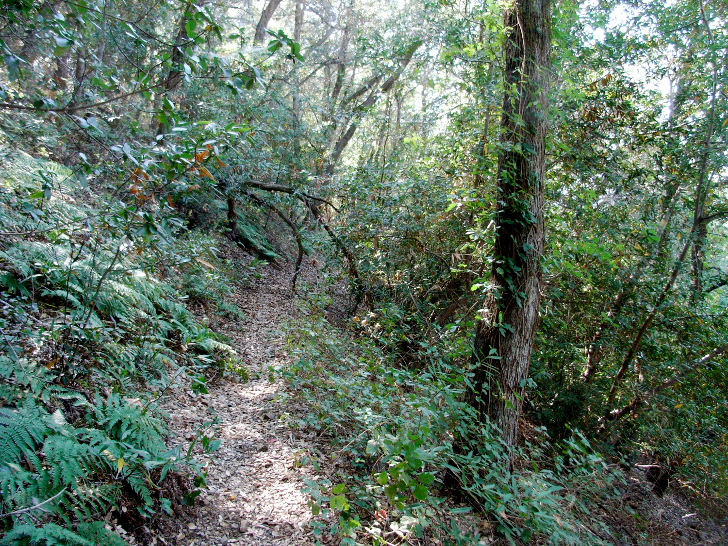
This is the Rim Trail, which stays mostly just to the north of Wilson’s actual ridge, through fern-covered slopes that look like they’d be more at home in Oregon than Southern California.

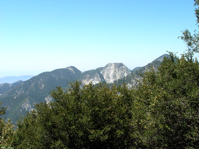
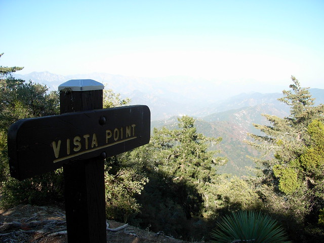
Eventually, you’ll reach the summit plateau on Mount Wilson, near the easternmost observatories, at a vista point that’s probably much nicer when the air’s not clogged up with haze and smog:
Continue along the trail as it parallels the Observatory Road, eventually meeting up with it on the way back to the parking lot where you started. For extra knowledge, be sure to check out the plaques along the road, explaining how to tell the difference between the San Gabriels’ most prominent plant life.
Tags: devore trail camp, Hiking, hiking in Los Angeles, Los Angeles, mount wilson, nature, trails, west fork trail camp